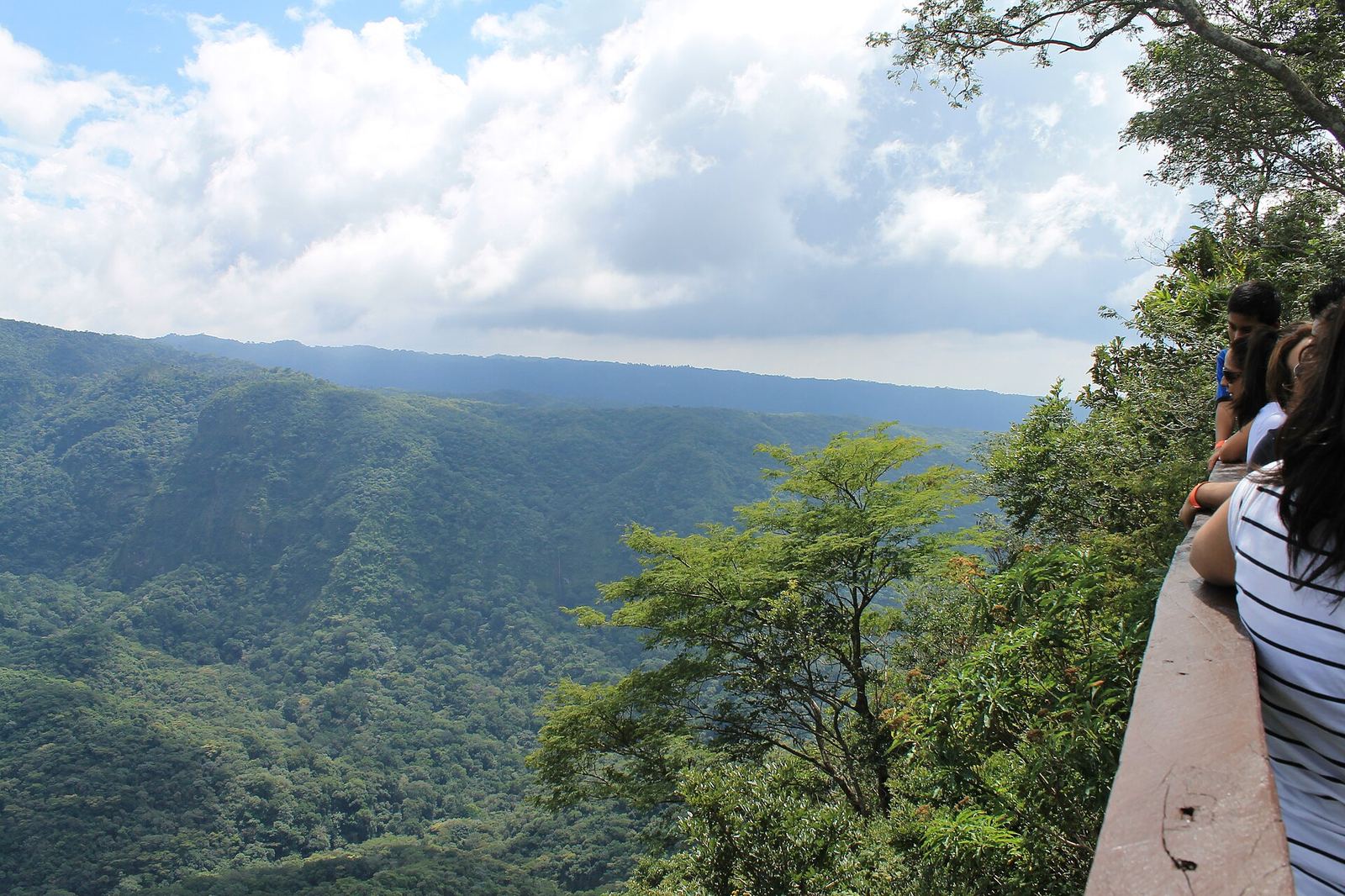
Central America · Pacific coast
El Salvador
Volcano hikes, flower-route towns and a surf coast, all within a couple of hours.
Photo: ElmerGuevara · CC BY-SA 3.0 · Wikimedia Commons
Why go
El Salvador is Central America's smallest country, so its volcanoes, crater lakes, Maya sites, coffee towns and black-sand surf beaches are rarely more than two to three hours apart. It uses the U.S. dollar, and the U.S. State Department rates it Level 1 (exercise normal precautions) as of June 25, 2026.
When to go
The dry season runs roughly November to April, with clear volcano views and the best surf-and-sun balance. The rainy season (May to October) brings afternoon storms and green landscapes.
- Rainy season (roughly May–October): mornings are often clear, with afternoon downpours. Start hikes early. Source
Getting there
Fly into El Salvador International (SAL), about 45 minutes from the surf coast and roughly an hour from San Salvador.
Getting around
Most travelers use private drivers, shuttles or a rental car. Chicken buses are cheap but slow. Distances are short, but mountain roads take time.
Ready-made
Itineraries for El Salvador
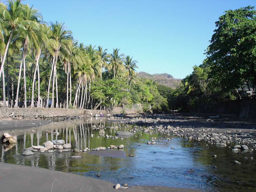
Map discovery
Everything on the map
Beyond the tourist trail
Hidden gems
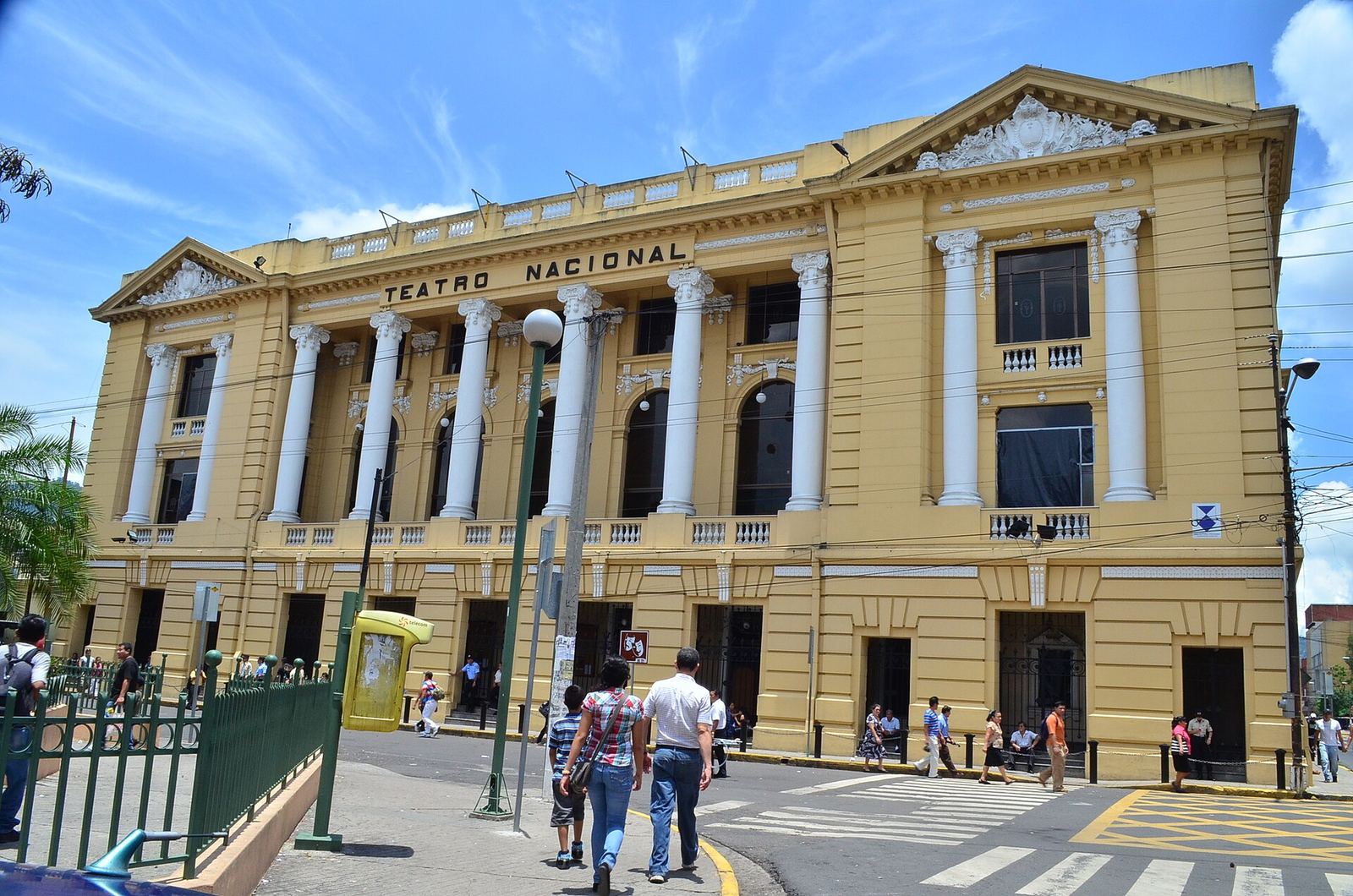
El Salvador
Teatro Nacional
An ornate 1917 French-style theater, among the oldest in Central America.
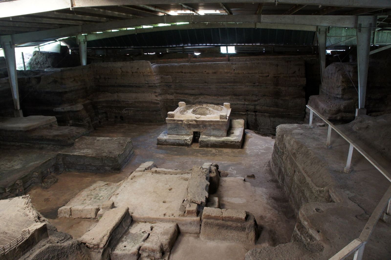
El Salvador
Joya de Cerén
A UNESCO World Heritage farming village buried by volcanic ash around AD 600.
El Salvador
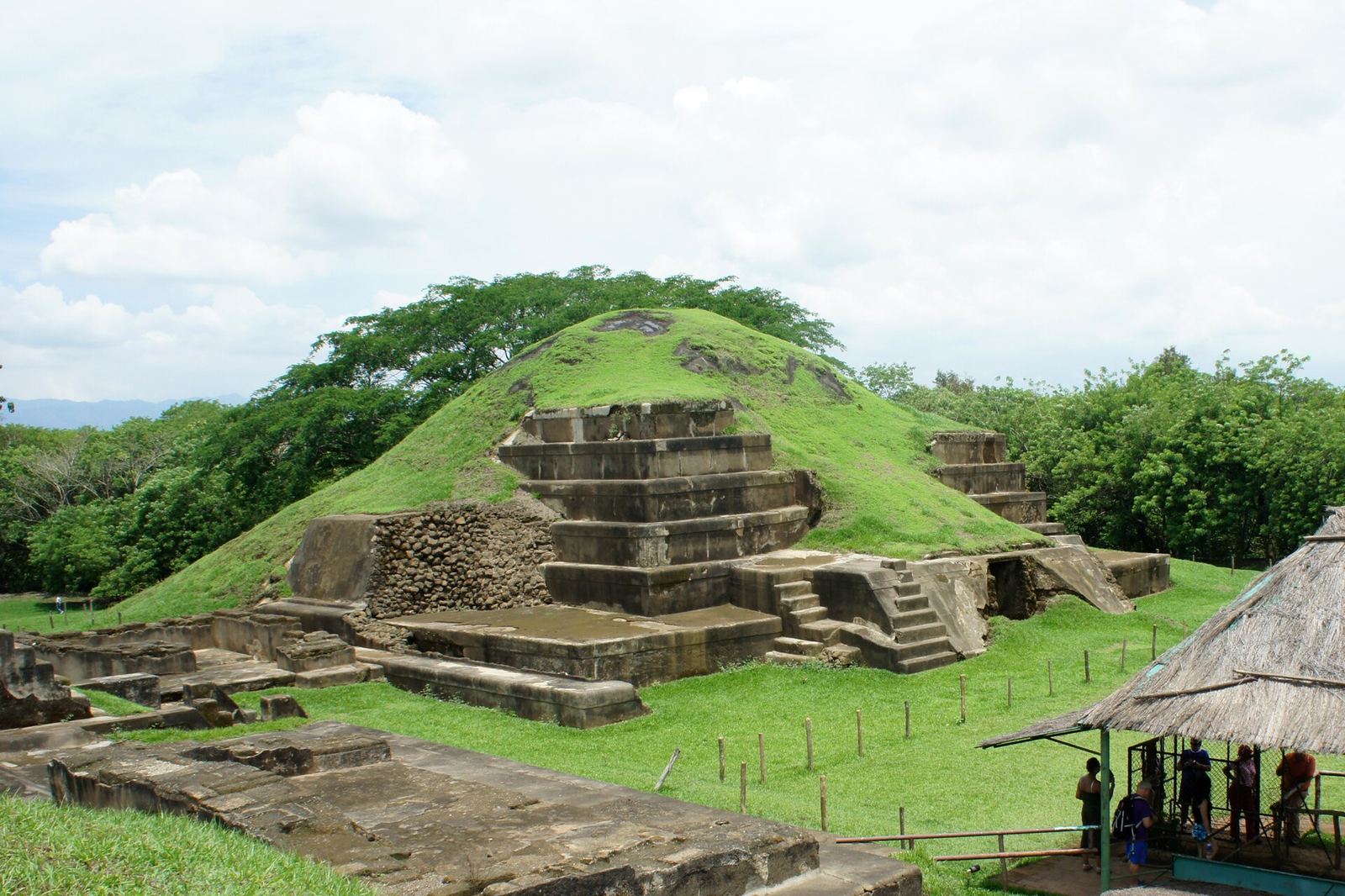
San Andrés
A pre-Columbian ceremonial center in the Zapotitán Valley, with a pyramid acropolis and a small site museum..
El Salvador
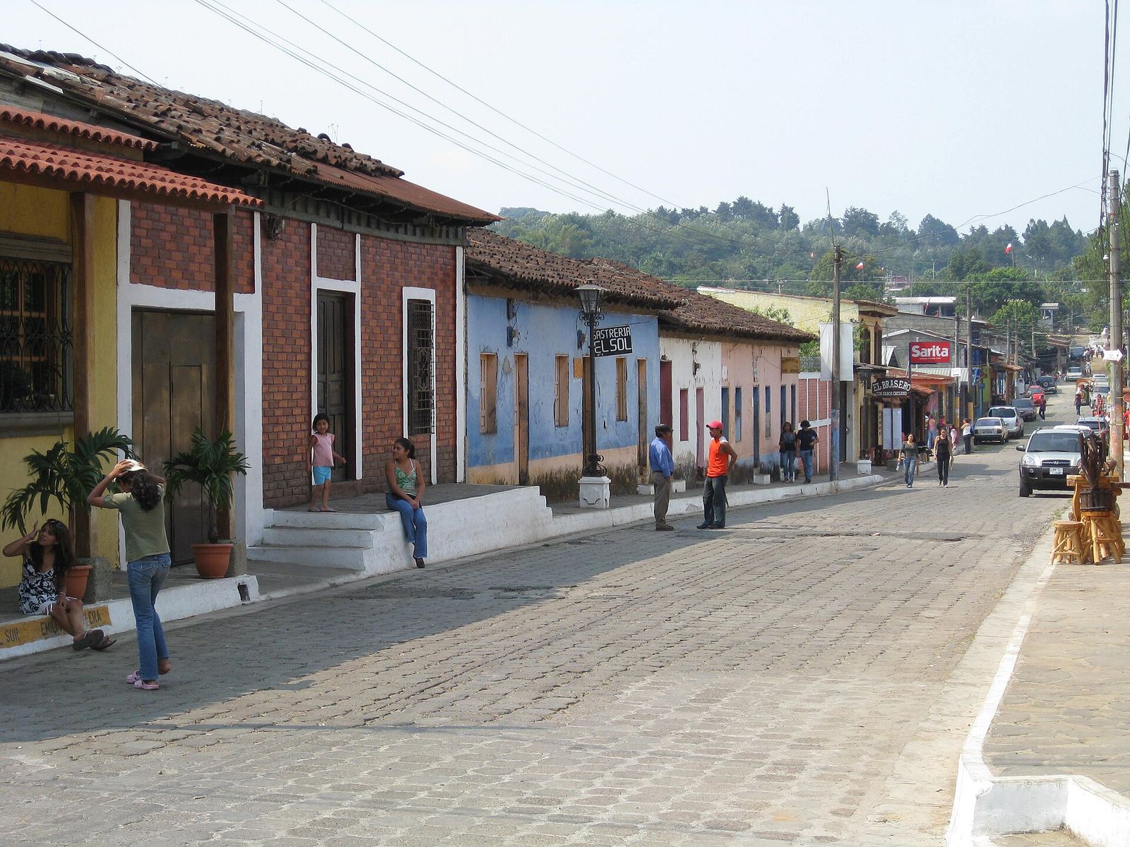
Concepción de Ataco
A cobbled mountain town covered in murals, with coffee farms, textile workshops and cool evenings..
El Salvador
El Imposible National Park
The country's largest national park: steep tropical forest, rivers and swimming holes in the far west..
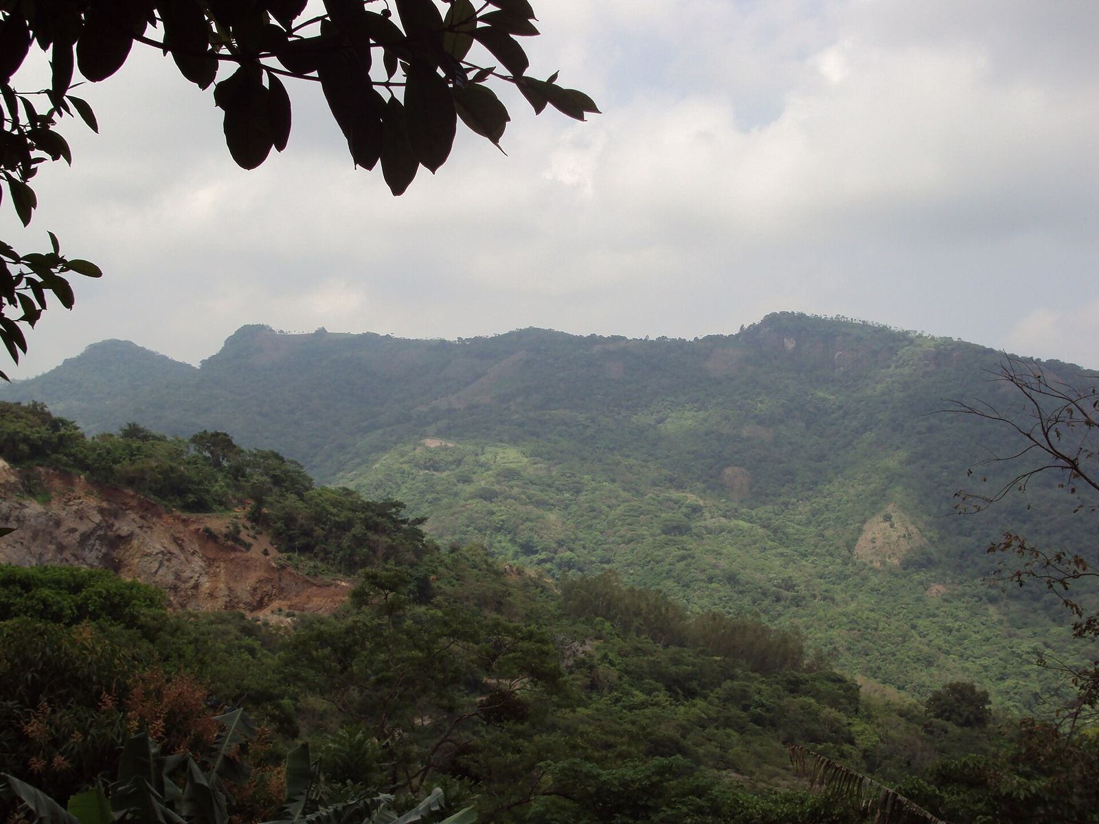
El Salvador
Puerta del Diablo
A split pair of giant rocks above Panchimalco with a short, steep climb to panoramic views over the valleys toward the coast..
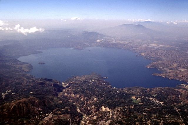
El Salvador
Lake Ilopango
The largest lake in El Salvador, filling a volcanic caldera east of the capital.
Neighborhoods & bases
Where to stay
Pick a base by what you want to do. Booking links are plain searches; affiliate programs have not been applied for yet.
San Salvador
city · typical first base
San Benito or Escalón (Zona Rosa area)
6 places in this area
Zapotitán Valley
region
Day trip between San Salvador and Santa Ana
2 places in this area
Santa Ana & the volcanoes
region
Santa Ana city or Lake Coatepeque
5 places in this area
Ruta de las Flores
region
Ataco or Juayúa
3 places in this area
El Imposible
region
Tacuba area eco-lodges
1 place in this area
Surf coast
region
El Tunco (social) or El Zonte (quiet)
2 places in this area
Suchitoto
town
Suchitoto old town
2 places in this area
Eat like a local
Food & markets
El Salvador
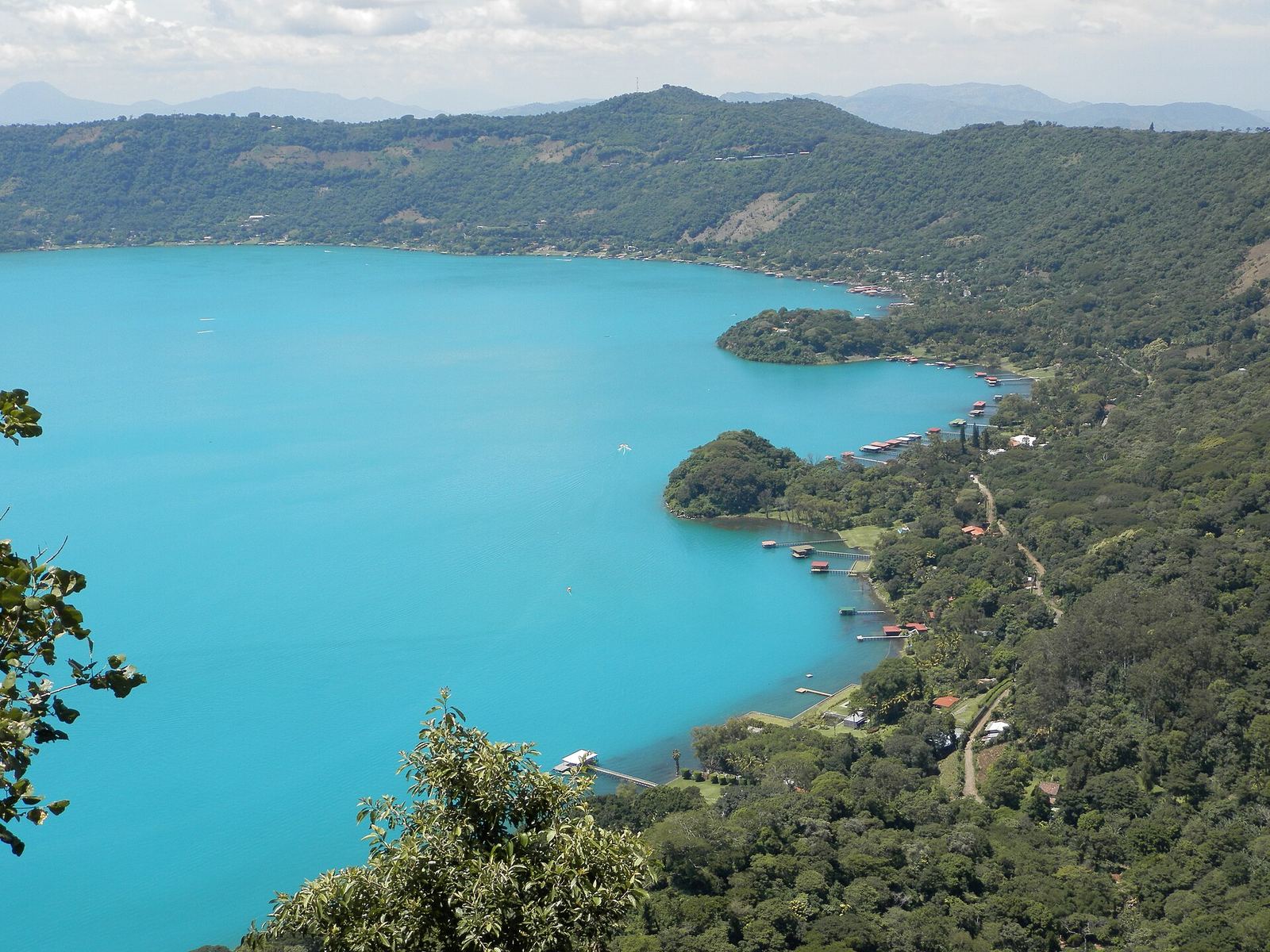
Coatepeque Caldera
A deep-blue crater lake ringed by steep green slopes, with lakeside restaurants, docks and boat rides..
El Salvador
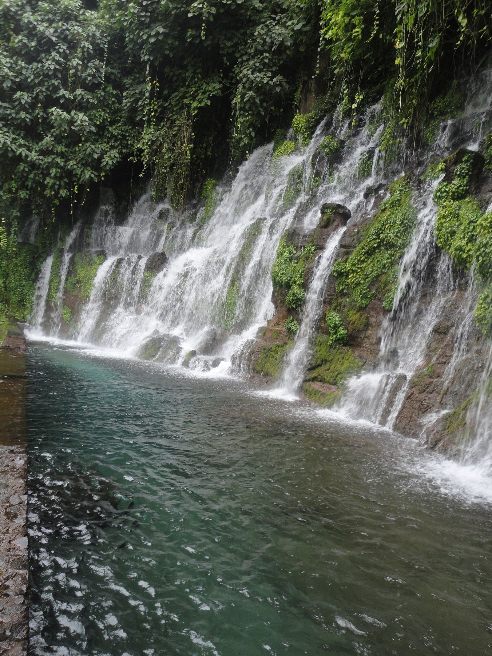
Juayúa
A coffee-country town on the Ruta de las Flores, famous for its weekend food fair, which fills the main square, and for the Los Chorros waterfalls nearby..
El Salvador · Hidden gem
Concepción de Ataco
A cobbled mountain town covered in murals, with coffee farms, textile workshops and cool evenings..
El Salvador
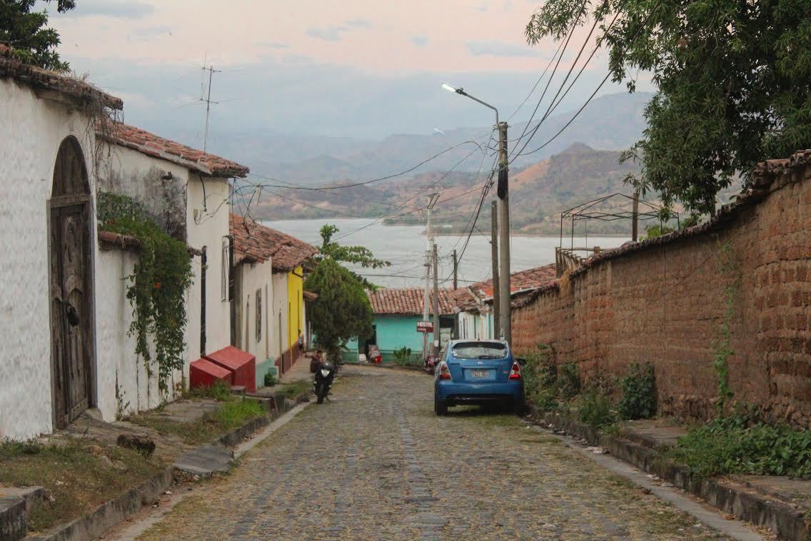
Suchitoto
A beautifully preserved colonial town of cobbled streets and indigo workshops above Lake Suchitlán.
Bookable
Experiences worth booking
Places where a licensed guide or ticket is required or makes the visit much better.
- El Boquerón (San Salvador volcano)Go early before clouds roll in. It's about 30–45 minutes from the city, so it's an easy half-day.Viator · GetYourGuide
- Santa Ana Volcano (Ilamatepec)Hikes go with park guides at set times; confirm current departure times and fees locally. Start early and bring layers, as the summit is windy.Viator · GetYourGuide
- Los Volcanes National ParkShort trails here are a good fallback if you don't want the full summit hike.Viator · GetYourGuide
- ApanecaBring a jacket for evenings at altitude.Viator · GetYourGuide
- El Imposible National ParkIt's remote and best with a local guide. Budget a full day or an overnight.Viator · GetYourGuide
- Puerta del DiabloGo for sunrise or late afternoon. Pair it with Panchimalco's church and murals.Viator · GetYourGuide
Entry requirements
- Check entry requirements, including any tourist card or fee, on the State Department country page before you go. Source
Safety
- U.S. State Department Travel Advisory: Level 1, exercise normal precautions (issued June 25, 2026; re-checked November 21, 2026 on the official advisories index). Re-check before travel. Source
- The same official El Salvador page describes a State of Exception, in place since March 2022, under which some constitutional protections are suspended and foreign citizens have been detained. Use major roads, be cautious travelling between cities at night, and re-read the full country page before you go. (Full country-page HTML returned HTTP 403 to our automated fetch on 2026-11-21; the Level 1 date is from the official advisories index, and the State of Exception language is from the official country-information page as indexed publicly the same day.) Source
- Pacific surf and rip currents are strong. Swim near lifeguards or surf schools. Source
Checked 2026-11-21. Advisories change; always re-check official sources before you travel.
Creator-inspired
Watch before you go
Editorial picks embedded from YouTube. No partnerships.
Creator-inspired
El Salvador · Video by the carry-on couple
San Salvador, the Santa Ana volcano hike, Coatepeque and El Tunco
Not a partnership or endorsement. The creator has not reviewed this page. Embedded via YouTube; playing it loads YouTube.
See the places on our mapCreator-inspired
El Salvador · Video by Eli Solidum Travel
Santa Ana as a base for volcano and lake adventures
Not a partnership or endorsement. The creator has not reviewed this page. Embedded via YouTube; playing it loads YouTube.
See the places on our mapPack smart
Gear for El Salvador
Clothing
Packable rain shell
El Yunque gets rain most days, and CDMX's rainy season brings afternoon storms.
For: Puerto Rico · Mexico City · El Salvador
Compare optionsProduct picks not yet tested. Links are not monetized yet.
Footwear
Water shoes or sport sandals
For rocky river pools like La Mina, slippery cobblestones, and reef-edge beaches.
For: Puerto Rico · El Salvador
Compare optionsProduct picks not yet tested. Links are not monetized yet.
Footwear
Light hiking shoes
The Santa Ana volcano trail is loose volcanic gravel. Cueva Ventana and El Boquerón reward grip too.
For: El Salvador · Puerto Rico
Compare optionsProduct picks not yet tested. Links are not monetized yet.
Bags
Small dry bag
For ferry rides to Culebra, kayak bio-bay tours and boat days on Lake Coatepeque or Suchitlán.
For: Puerto Rico · El Salvador
Compare optionsProduct picks not yet tested. Links are not monetized yet.
Health
Mineral (reef-friendly) sunscreen
For strong Caribbean and Pacific sun and high-altitude UV in CDMX. Some reserves ask visitors to skip chemical sunscreens.
For: Puerto Rico · El Salvador · Mexico City
Compare optionsProduct picks not yet tested. Links are not monetized yet.
Clothing
Warm layer
CDMX mornings at 2,240 m, the Santa Ana summit and the Ruta de las Flores get cool, as do over-air-conditioned buses.
For: Mexico City · El Salvador
Compare optionsProduct picks not yet tested. Links are not monetized yet.
Connectivity
Travel eSIM
Puerto Rico uses U.S. carriers; for El Salvador and Mexico, check whether your plan includes roaming or use a local or eSIM data plan.
For: El Salvador · Mexico City
Compare optionsProduct picks not yet tested. Links are not monetized yet.